
Municipality: Frýdlant nad Ostravicí
Ondřejník is a massif in the foothills of the Moravian-Silesian Beskydy Mountains. Its highest peak is in the southern part - Skalka (964 m above sea level) and the second highest is Ondřejník (889 m above sea level).
From the top we can see Lysá hora, Travný, Smrk, Kněhyni, Radhošt', Velký Javorník, Velká Fatra, Hukvaldy and also Štramberk.
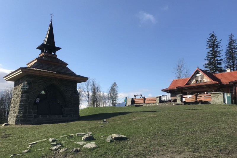
Attractions at the top: stone chapel of St. Anthony, tourist hut Ondřejník (out of operation)
Other attractions outside the peak: paragliding under the peak of Skalka
Possibility to reach the summit: on foot, by bike, by car
Refreshments at the top: Roubenka Ondřejníček
Accommodation at the top: no
Hiking routes:
Frýdlant n. O., railway station blue sign > Ondřejník, tur. chata (3,4 km)
Ondřejník, tur. chata, blue sign > Ondřejník ridge, blue sign > Skalka peak (3,8 km)
Skalka vrchol, blue sign > Kunčice p. Ondřejníkem (approx. 2.7 km)
Ondřejník, tur. chata, green sign > rozc. Opálená, yellow sign > Čeladná žel. station (approx. 5.6 km)
Running routes:
Chata Ondřejník - chata Šmiřanka and back - 2 km
Chata Ondřejník - sedlo - Skalka and back - 10 km
Chata Ondřejník - saddle - 1 km, then on to the Big Circuit - 10 km or Small Circuit 5 km