
Length: 7-13 km
Current status: here
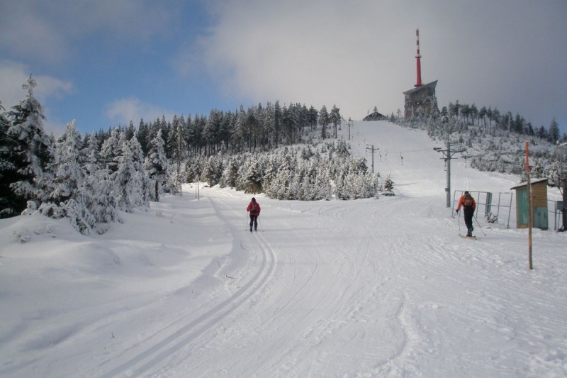
The Lysohorská highway is the highest route in the Moravian-Silesian Beskydy. On cross-country skis you can reach Lysá hora, the highest peak of the Beskydy Mountains.
Route 1: Papežov - Zimný - Lysá hora - the route is 8.5 km long
It leads from Papežov to Zimný to the top of Lysá hora. The start is in the Vyšní Mohelnice Krásná locality, where cross-country skiers can park their cars in a small car park right next to the starting track section. There is also a bus stop at this location.
Route 2: Albínovo náměstí - Malenovický kotel - Ivančena - Labažky - Zimný - Lysá hora - the route is 13 km long
It leads from Albín Square with the Malenovický boiler to Ivančen, then to Labažky, Zimný and to the top of Lysá hora. The best way to start the cross-country ski run is from the P. Bezruč hotel or from the Rajská bouda hotel in Malenovice, where there are large car parks and bus stops. From here, cross-country skiers can set off on a marked path to the Ivančen track section or to the starting section of Albínovo náměstí. The distance of access roads from parking lots to the cross-country route in the area of Malenovice boiler is about 1.5 km.
Route 3: Pasička - Vyšní Mohelnice - Muroňka - Visalaje, Stations of the Cross - U surovce - Bílý Kříž - the route is 7 km long
It leads from the White Cross through the crossroads Pod Surovcem, then to Visalaje, Křížová cesta, Muroňka and Pasičky, where it can be connected to route 1 in the direction of Lysá hora. The best way to start the cross-country route is from Papežov on route 1, after 3 km there is a turn to route 3. The next start to the route is from Visalají, where there is a parking lot, bus stop and refreshments and the last entry to the route is Bílý Kříž. also refresh.